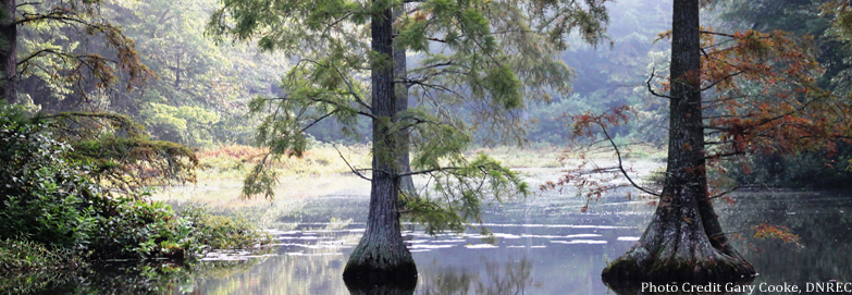
Located in the Coastal Plain physiographic region, the Nanticoke River watershed historically was very rich in wetland resources which covered an estimated 46 percent of the land area.
In 1998, the area of wetlands had declined by 38 percent, leaving 28 percent of the land area of the watershed as wetland. Artificial drainage through ditching and channelization of streams and direct conversion to agriculture accounted for the majority of wetland loss.
Data garnered from assessing the Nanticoke Watershed is being utilized to develop restoration and protection plans for the watershed’s wetlands and their adjoined habitats through a collaborative process with other natural resource programs and stakeholders. Outreach is being conducted in the watershed to share the results of the study with the public in order to foster support for and participation in restoration and protection initiatives.
Wetland assessment data garnered by the states of Maryland and Delaware has been used to design a restoration strategy for the Delaware component of the watershed. The Nanticoke Restoration Plan was developed by an interagency team of scientists and managers.
Opportunities for both increasing wetland quality and quantity in target areas were identified by integrating the data from the monitoring and assessment program with data from other strategies and efforts.
Implementation of the plan has begun using targeted outreach to landowners in priority areas. We received interest from multiple landowners and are working cooperatively with the work group members to restore several wetlands and reconnect floodplain forests with streams. We have received funds for a coordinator position and on the ground restoration projects through the Chesapeake Bay Program.
For more information about the Restoration Plan, contact Alison Rogerson, at 302-739-9939.

Related Topics: assessment, nanticoke, river, watershed, watershed stewardship, wetlands