The Coastal Storm Risk Management Study of the Delaware Inland Bays and Delaware Bay Coast (known as the Back Bay Study) will explore potential storm risk management problems and flood risk reduction solutions. It will recommend risk reduction solutions that increase community resilience to coastal storms.

The USACE and DNREC team assessed existing vulnerabilities from coastal storms within the authorized study area, as well as an array of flood risk management measures. However, given the technical complexities of the flood problems, geographic scope, and environmental considerations, USACE and DNREC decided to pause the study and re-evaluate the best path forward to address coastal storm risk. As neither study partner currently has identified funding beyond the initial estimate, USACE and DNREC may pursue joint funding opportunities and work under other authorities and programs in order to increase flooding protection for residents and businesses.
During iterative scoping of the study in late Spring 2023, USACE’s cost estimate increased significantly beyond the initial $2 million budget. This is mainly due to the complexities associated with analyzing structural measures (i.e., physical barriers designed to protect specific geographic areas from flooding) in the study area.
The work to date on the Delaware Inland Bays and Delaware Bay Coast study included valuable screenings of flood vulnerability, critical infrastructure, public and private infrastructure, and evaluations of environmental justice and equity. This preliminary work may be applied to other authorities/programs at the federal and state level.

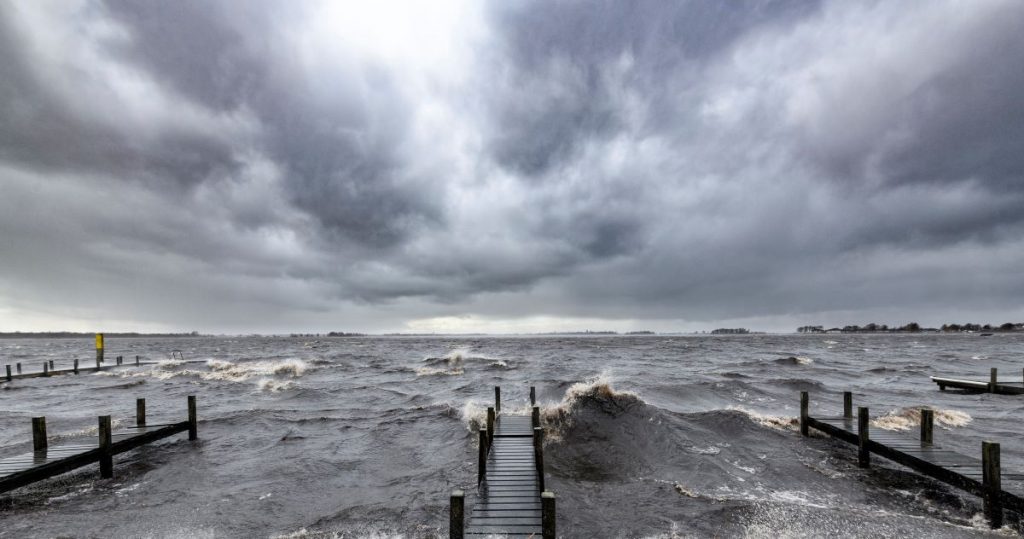
Delaware’s Inland Bays and Delaware Bay Coast have endured many coastal storms. Storms have brought flooding, power-outages and safety risks. They have had long-lasting impacts such as infrastructure damage, marsh and sand dune degradation, habitat impacts, and road closures.
Climate change is increasing the frequency of destructive coastal storms. And it is causing sea level rise, which will further increase the flood risk for coastal Delaware.
To help reduce the risk of coastal storm impacts, DNREC is partnering with the US Army Corps of Engineers (USACE) on a feasibility study investigating coastal storm risk management problems and solutions.
The study will assess flooding problems and identify possible solutions. It will compare the possible solutions and recommend those that make the most sense.
The study is a continuation of the Corps’ North Atlantic Coast Comprehensive Study (NACCS). It uses the NACCS framework for coastal storm risk management (known at the USACE as CSRM) investigations.
The study will include three overarching efforts:
The study will consider geospatial data, engineering models, ecological data, an economic inventory and public input.
It will use existing models, data and studies from other Corps of Engineers projects as well as other coastal storm risk and resilience studies, projects, and initiatives from Federal, State, and local agencies.
There will be two final products of the Coastal Storm Risk Management Study.
A Feasibility Report of final recommendations for projects. It will include plans for implementing the recommended solutions and engineering analyses. It will list decision-making criteria to help identify the best set of coastal storm risk management solutions.
A USACE Chief of Engineers Report (Chief’s Report) for those projects that meet or exceed the Corps’ feasibility criteria. This report will be used to seek Congressional approval to continue developing the projects. A Chief’s Report is an important step toward authorization, appropriation, and implementation of a project.

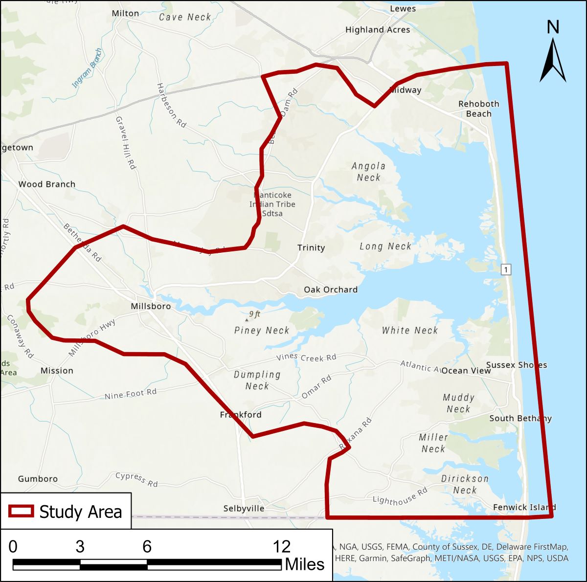
Though the authorized study area initially included Inland Bays and Delaware Bay shorelines, the study scope needed to be refined. The data-driven down-scoping considered existing or ongoing coastal flood mitigation studies, population and critical infrastructure at risk to coastal flooding, and equity opportunity areas, in addition to other technical data. The study area was refined/down-scoped to align with the budget, time considerations, and other factors.
The project team have determined that the focus area of the study will be the Delaware Inland Bays area, including watersheds around Rehoboth Bay, Indian River Bay, and Little Assawoman Bay. The study will focus on developing solutions to coastal storm flooding and is not necessarily going to produce solutions to sunny-day (nuisance) flooding or rainfall drainage issues. Sea level rise will be incorporated into the study in order to plan for a more resilient future.
The Inland Bays area was selected for the following reasons:
Funding for the study ($2 million) comes from a 50/50 cost-share between the state of Delaware and the Corps of Engineers. This funding covers the cost of the study, not the implementation of the study-recommended coastal storm risk management solutions.
Funding for possible implementation is not limited to state or federal funding sources.
Related Topics: beaches, coastal programs, coastal storm, coastal storms, corps of engineers, delaware bay, inland bays, resilience, risk management, study, watershed stewardship, waterways