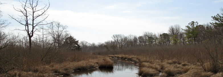
Located in Kent County, the Murderkill watershed covers 28,000 hectares (69,000 acres) within the Delaware Bay and Estuary Basin. This watershed contains many key natural heritage and wildlife habitats such as coastal plain streams and ponds, impoundments, wetlands and beach dunes. Rare wetland habitats including coastal plain ponds and bald cypress riverine patches are located in the watershed.
Research conducted by DNREC in 2008-2009 evaluated changes in wetland acreage and health in the Murderkill River watershed. A watershed comparison of pre-settlement state wetland inventory to present state wetland inventory shows a 38 percent loss in wetland acreage. Many of the remaining wetlands in this watershed have been altered by human activity and thus are not in perfect health.
Wetlands in the Murderkill River watershed provide many benefits to people and wildlife that are an integral part of the landscape. The tidal and non-tidal wetlands in this area need help to successfully function.
Based on this study, several recommendations were made to improve management and encourage informed decision making. These included:
The wetland assessment data garnered from this study will be used to design a restoration strategy for the Delaware Bay Watershed. The plan will be developed by an interagency team of scientists and managers.
Opportunities for both increasing wetland quality and quantity in target areas will be identified by integrating the data from the wetland monitoring and assessment program with data from other strategies and efforts.
For more information about the Condition Report, contact Alison Rogerson, at 302-739-9939.

Related Topics: assessment, murderkill, river, watershed, watershed stewardship, wetlands