

DNREC Menu
The following is a glossary of terms used throughout the I-ADAPT tool and associated documents.
The definitions are organized alphabetically.
100-year floodplain: According to FEMA, the 100-year floodplain is the boundary of the flood that has a 1-percent chance of being equaled or exceeded in any given year. Officially termed the 1-percent annual chance floodplain.
500-year floodplain: According to FEMA, the 500-year floodplain is the boundary of the flood that has a 0.2-percent chance of being equaled or exceeded in any given year. Officially termed the 0.2-percent annual chance floodplain.
Adaptation: The process of adjusting to new or changing climate conditions, both to reduce (or avoid) negative impacts to valuable assets and to take advantage of emerging opportunities.
Base Flood Elevation (BFE) Line: The elevation of surface water caused by a flooding event for which there is a 1% chance of equaling or exceeding that water level in any given year.
Breakwater: A barrier that is built out into the water to protect the coast from wave action. A type of grey or hardened infrastructure.
Building codes: Sets of regulations that govern the design, construction, alteration and maintenance of structures. These codes specify the minimum requirements to adequately safeguard the health, safety and welfare of building occupants.
Bulkhead: A type of grey or hardened infrastructure that was designed for individual properties like residential homes and small businesses.
Buoyancy forces: The force that causes an object to float.
Climate: The long-term regional or global average of temperature, humidity and rainfall patterns over seasons, years or decade.
Climate change: A long-term change in the average weather patterns that have come to define Earth’s local, regional and global climates.
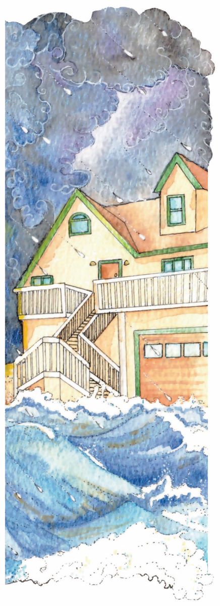
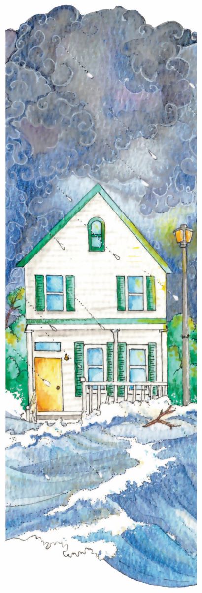
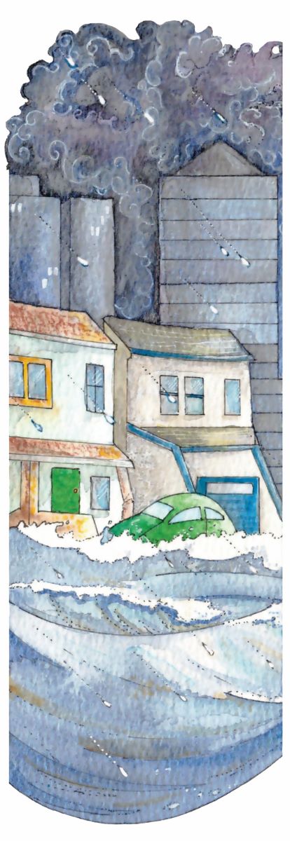
Coastal flooding: When dry, low-lying land is submerged by seawater. Coastal flooding is caused by increasing sea levels, high tide events, King Tides/nuisance flooding, wave action, and storm surge (hurricanes, tropical storms, nor’easters).
Combined sewer system: Sewers that are designed to collect rainwater runoff, domestic sewage and industrial wastewater in the same pipe. During periods of heavy precipitation, the wastewater volume in a combined sewer system can exceed the capacity of the system. This causes the system to discharge excess, untreated wastewater directly to nearby streams, rivers or other water bodies. During situations where the systems are unable to effectively discharge the excess wastewater, the sewer system may back up.
Commercial/business structure: The structure and property are used for non-residential business purposes.
Community Rating System (CRS): According to FEMA, the Community Rating System (CRS) is a voluntary incentive program that recognizes and encourages community floodplain management practices that exceed the minimum requirements of the National Flood Insurance Program (NFIP). Over 1,500 communities participate nationwide.
Corrosive/corrosion: The gradual destruction of materials by chemical reactions within their environment.
Ecosystem services: Any positive benefit that wildlife or ecosystems provide to people.
Erosion: When the shoreline is gradually worn away by a water or wind.
Flood gate: Adjustable gates used for controlling water flows. A type of grey or hardened infrastructure.
Floodplain: According to FEMA, a floodplain is any land area susceptible to being inundated by floodwaters from any source.
Freeboard: According to FEMA, freeboard is an additional amount of height above the Base Flood Elevation used as a factor of safety (e.g., 2 feet above the Base Flood) in determining the level at which a structure’s lowest floor must be elevated or floodproofed to be in accordance with state or community floodplain management regulations.
Hardened shoreline: The natural shoreline has been altered using man-made materials in order to avoid flooding. Examples of hardened or gray infrastructure include bulkheads, sea walls, levees/dikes, rip rap, flood gate, breakwater, etc.
High-energy waves: Waves coming off the ocean or bay which contain a high amount of potentially destructive wave energy.
High-tide flooding: Scenarios in which tidal waters, in the absence of storm surge or rainfall, temporarily rise above a level that results in standing water on low-lying roads or seawater entering stormwater systems. Also known as nuisance flooding or sunny-day flooding.
Hybrid shoreline: Installed and designed to protect and stabilize shoreline using a combination of natural and grey materials.
Hydro-static pressure: The pressure that a motionless fluid applies on its surroundings due to gravity.
Impermeable: Does not allow water to pass or gradually seep through.
Infiltration: When water or another fluid seeps through an object.
Invasive species: Plants, animals or other organisms that are nonnative (or alien) to a specific ecosystem and whose introduction causes (or is likely to cause) harm.
King Tides/nuisance flooding/sunny day flooding: An extremely high tide occurring a few times per year that is above the highest water level reached at high tide on an average day.
Lateral forces: The horizontal forces that act on an object or structure.
Levee: A constructed fill dike that runs alongside water bodies.
Livable floor: There is finished living space somewhere on the floor level.
Living shoreline: A structure made up of natural or nature-based materials that is used to stabilize or control erosion along a shoreline. Materials commonly used in living shorelines include native plants and shellfish, oyster shells and biodegradable coconut-fiber logs.
Masonry: A structure that is constructed with brick, stone, etc. The structure uses brick, stone, etc. for the structural support. They can have wood, drywall, plaster, paneling, ceramic, concrete, or stucco interior wall finishes.
Masonry veneer: A structure that has a wood frame structural support with masonry on the outside for aesthetic purposes. They can have wood, drywall, plaster, paneling, ceramic, concrete, or stucco interior wall finishes.
National Flood Insurance Program (NFIP): The National Flood Insurance Program (NFIP) is managed by the FEMA and is delivered to the public by a network of more than 50 insurance companies and the NFIP Direct.
National Register of Historic Places: An official list of historic places worthy of preservation in the United States, under authorization of the National Historic Preservation Act of 1966. The National Park Service runs this program to identify, evaluate, and protect the United States’ historic and archeological resources and structures. To find out if your property is on the National Register of Historic Places, please visit: www.nps.gov/subjects/nationalregister/database-research.htm
Native species: Species that are indigenous to a certain region or ecosystem.
Natural shoreline: Shoreline is in a naturalized form, most likely with some vegetation. Examples include unaltered shoreline (marsh, wetland, etc.), altered shoreline engineered to prevent flooding and erosion that has planted vegetation growing on it (living shoreline), sand/sand dunes, etc.
Permeable: Allows water to pass or gradually seep through.
Pre-FIRM: A building for which construction or substantial improvement occurred on or before December 31, 1974, or before the effective date of an initial Flood Insurance Rate Map (FEMA).
Presidential Disaster Declaration: According to FEMA, the President can declare an emergency for any occasion or instance when the President determines federal assistance is needed.
Primary building: The main structure on the property, likely the building that you live or work in.
Primary residence: You live in this structure for most of the year.
Repetitive loss structure: According to FEMA, a repetitive loss structure is an NFIP-insured structure that has had at least 2 paid flood losses of more than $1,000 each in any 10-year period since 1978.
Residential structure: A dwelling where people live.
Resilience: The ability to “bounce back” after hazardous events rather than merely reacting to impacts.
Restoration: The process of returning a habitat to its natural condition.
Riparian zone: The area directly beside water bodies. A healthy riparian zone is vegetated with native plants.
Rip-rap: Placed rock used to protect shoreline properties from erosion. A type of gray or hardened infrastructure.
Sand dune: An accumulation of sand grains that have been shaped into a mound along the coastline.
Sea level rise: An increase in the average level of the ocean surface, caused primarily by two factors related to global warming: the added water from melting ice sheets and glaciers on land and the expansion of seawater as it warms. Delaware lies in a sea level rise “hotspot,” where sea levels are rising faster than elsewhere in the world due to a combination of both sinking land and climate change.
Seawall: A wall in the water that is designed to protect large coastal settlements.
Special Flood Hazard Area (SFHA): According to FEMA, a Special Flood Hazard Area is an area having special flood, mudflow or flood-related erosion hazards.
Slab-on-grade: A type of foundation that is shallow with a concrete slab resting directly on top of the ground below it.
Subaqueous lands: Land located below the limits of low tide and thus always underwater.
Substantial Damage: Where the cost of restoring the structure to its before damaged condition would equal or exceed 50% of the market value of the structure before the damage occurred.
Substantial Improvement: Any reconstruction, rehabilitation, addition, or other improvement of a building, for which the cost equals or exceeds 50% of the market value of the building before the “start of construction” of the improvement/renovation.
Sustainability: The creation and maintenance of conditions under which humans and nature can exist in productive harmony to support both present and future generations.
Velocity: The speed of an object that is in motion.
Waterfront: There are no other buildings between your structure(s) and a water body. For the purposes of this tool, waterfront does not include small ponds or small tributaries.
Weather: Atmospheric conditions that occur locally over short periods of time, from minutes to hours or days. Familiar examples include rain, snow, clouds, winds, floods and thunderstorms.
Weatherization: A range of practices aimed at weatherproofing and installing energy-efficient measures in a building or home to improve the structure’s envelope, heating and cooling systems, electrical system and electricity and fuel consumption. Weatherization programs can include home energy audits, air sealing, insulation, moisture control and ventilation.
Wetland: An area where the frequent and prolonged presence of water at or near the soil surface drives and supports a system of plants and animals that are adapted for wet soil conditions. Swamps, marshes and bogs are well-recognized types of wetlands.
Wetland migration: The natural process by which wetlands gradually shift inland with sea level rise onto formerly dry land.
Wood frame: A structure that is constructed with wood for the structural support. Wood frame structures can have many different types of siding including vinyl, stucco, metal, wood, etc. on the exterior of the structure. They can have wood, drywall, plaster, paneling, ceramic, concrete, or stucco interior wall finishes.
Workable floor: There is finished space somewhere on the floor level where people work/live or goods are stored.
Related Topics: adaptation, climate coastal energy, climate plan, coastal programs, definitions, flooding, glossary, resources, strategies
Delaware's Governor
State Agencies
Elected Officials
General Assembly
Delaware Courts
State Employees
Cities & Towns
Delaware State Code
State Regulations
Business First Steps
Phone Directory
Locations Directory
Public Meetings
Voting & Elections
Transparency
Health Insurance
Tax Center
Personal Income Tax
Privacy Policy
Weather & Travel
Contact Us
Corporations
Franchise Tax
Gross Receipts Tax
Withholding Tax
Delaware Topics
Help Center
Mobile Apps
E-mail / Text Alerts
Social Media

Built by the Government Information Center
©MMXXVI Delaware.gov