

DNREC Menu
Visitors to two of Delaware’s most popular beaches can help collect valuable data needed to monitor Delaware’s changing coastline. And all they need is their smartphone.
CoastSnap DE is part of a global community science project that places simple camera mounts at beaches. Visitors are invited to take photos using the mounts and upload them to a central location.
By collecting photos over time at the same locations, CoastSnap can track how coastlines are changing due to processes such as storms, sea level rise, human activities and other factors.
A process called photogrammetry extracts information in submitted photos and maps each pixel to a specific location or GPS coordinate. This turns the photo into valuable data that can be used to create a digital model of the physical world.
By collecting data from images that are taken over time at the same location, DNREC scientists can use that digital model to track changes.
It is important to collect the same view each time – that’s why camera mounts are provided – and record the exact time and date the image was taken.
The more photos that are gathered, the better our understanding becomes of seasonal and long-term changes to the Delaware coastline.
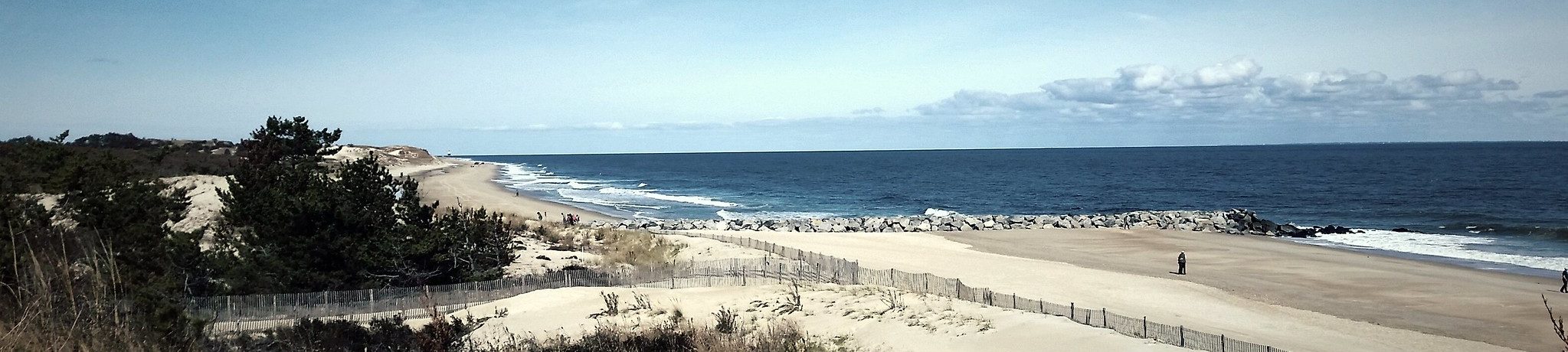
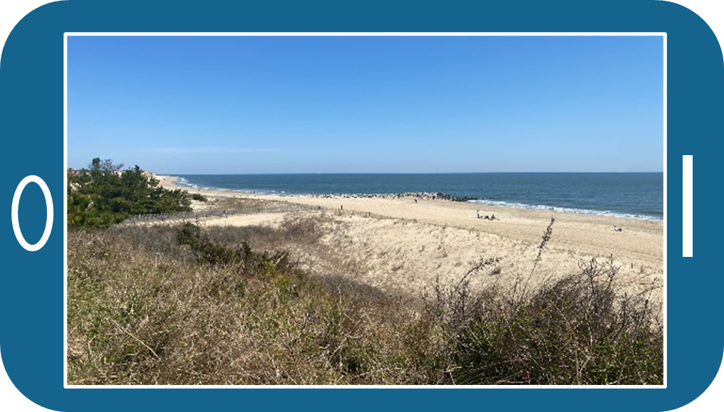
Delaware has two CoastSnap stations, one at Herring Point in Cape Henlopen State Park and one on the south side of the Indian River Inlet in Delaware Seashore State Park.
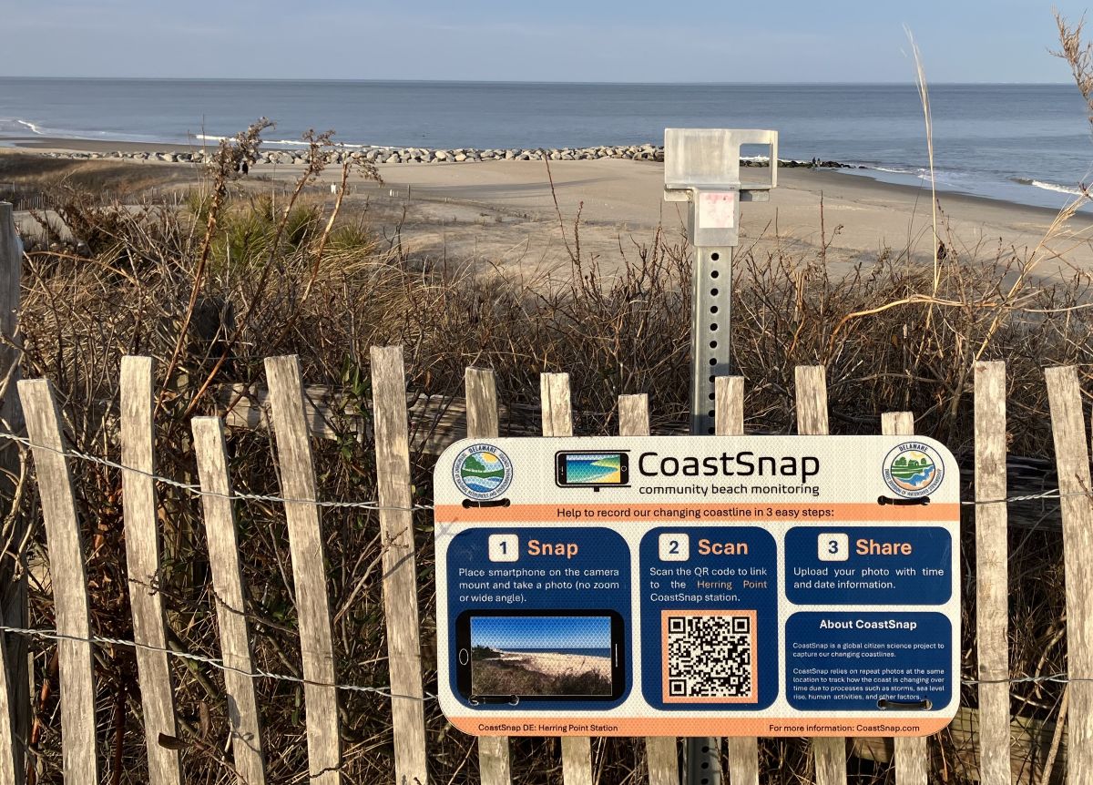
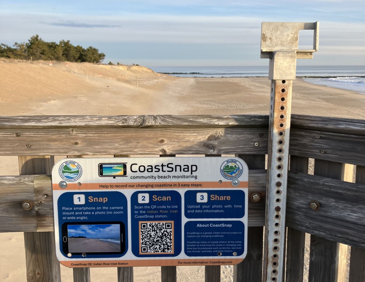
Find a Delaware CoastSnap station, snap a photo, scan the QR code and share!
Place smartphone on the camera mount and take a photo (no zoom or wide angle).
Scan the QR code on the camera mount to link to the CoastSnap station.

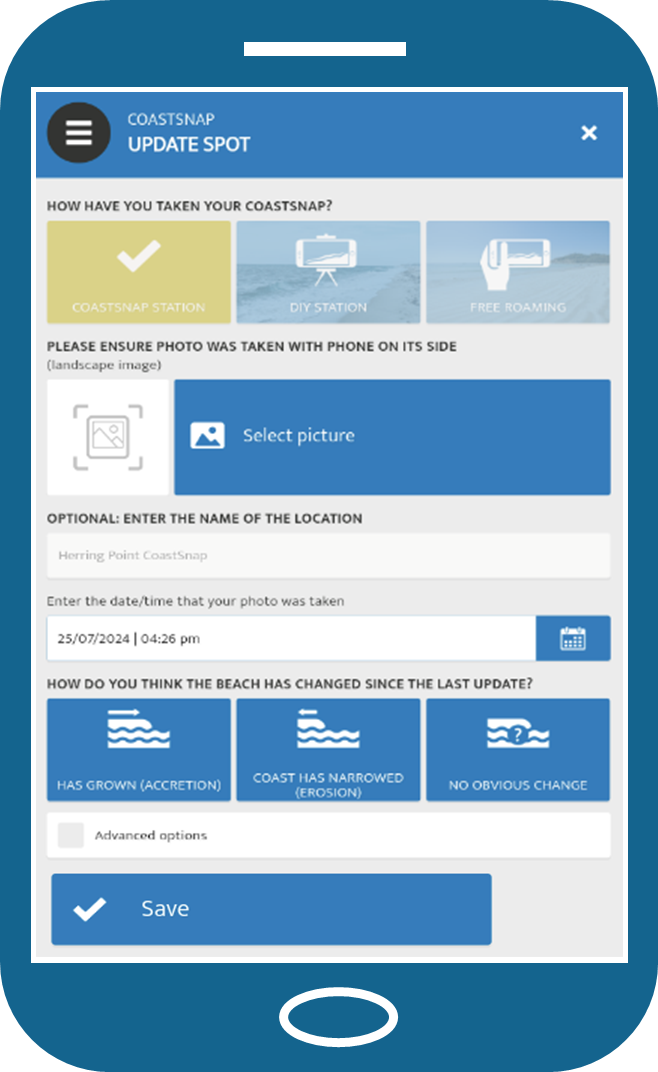
Upload your photo with time and date information.
For more information, please contact Karen A. Taylor, at karenann.taylor@delaware.gov or 302-855-7302.
Related Topics: beaches, coast, dune protection, science, shorelines, watershed stewardship
Delaware's Governor
State Agencies
Elected Officials
General Assembly
Delaware Courts
State Employees
Cities & Towns
Delaware State Code
State Regulations
Business First Steps
Phone Directory
Locations Directory
Public Meetings
Voting & Elections
Transparency
Health Insurance
Tax Center
Personal Income Tax
Privacy Policy
Weather & Travel
Contact Us
Corporations
Franchise Tax
Gross Receipts Tax
Withholding Tax
Delaware Topics
Help Center
Mobile Apps
E-mail / Text Alerts
Social Media

Built by the Government Information Center
©MMXXVI Delaware.gov