

DNREC Menu
Delaware is the second smallest of the United States with a land area of 1,982 mi², or just over 1.25 million acres. The state consists of three counties, New Castle, Kent, and Sussex. About 95% of the state lies within the Atlantic Coastal Plain province, and about 5% (northern New Castle Co.) is within the Piedmont province. The highest point in Delaware is 448 ft. above sea level, in northern New Castle County. The average elevation in the state is 60 ft. Despite its small size, the state is home to a wide diversity of terrestrial and aquatic habitats harboring an equally diverse flora and fauna.
Delaware lies in an ecological transition zone where several northern species reach their southern limit of natural distribution, and an even greater number of southern species reach their northern limit of distribution (see Delaware Habitats in Regional Context below). The state also contains migratory bird staging and concentration areas of global significance.
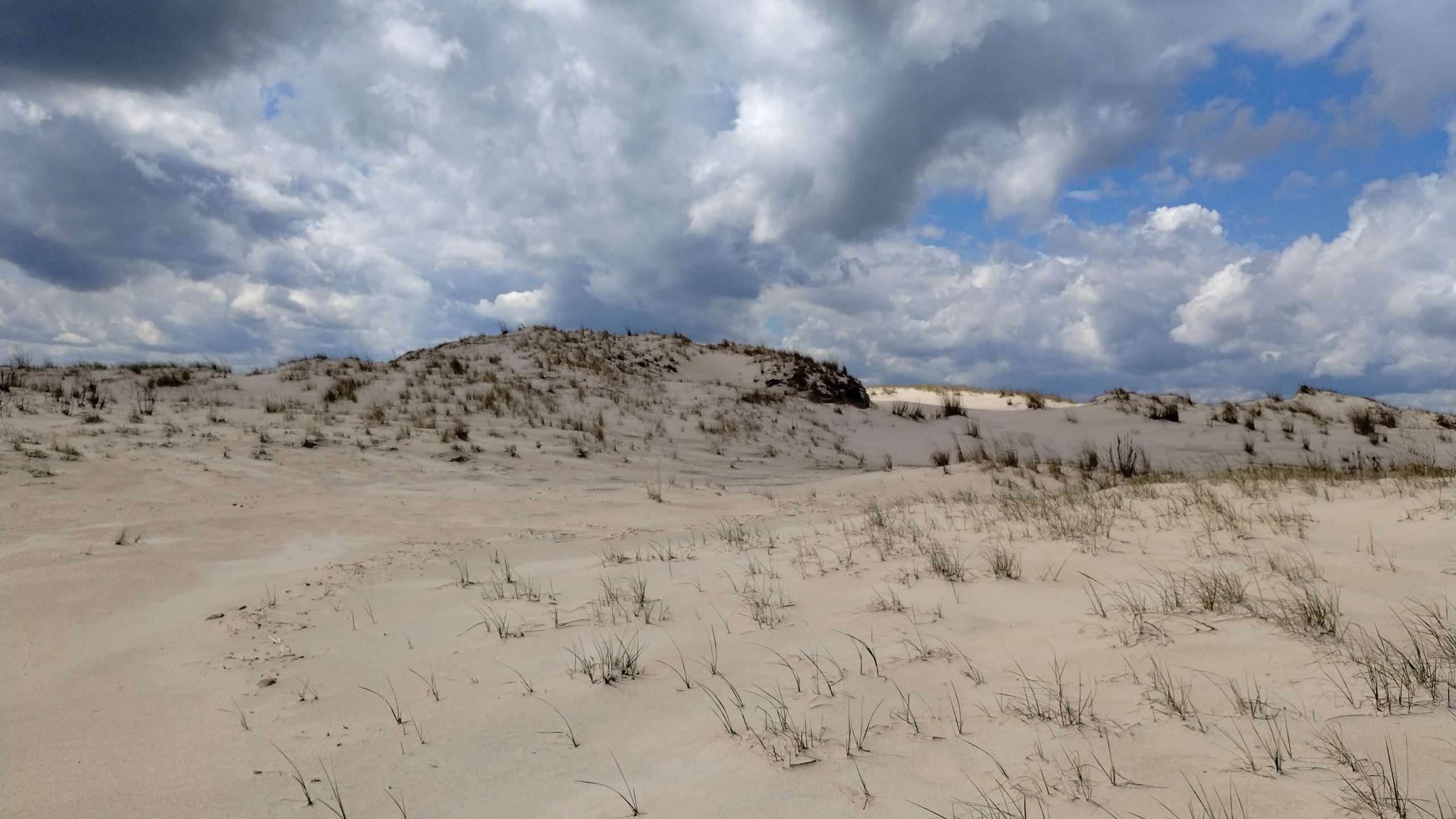
Historically, Delaware, like most of the Northeast, was largely forested. Natural, permanent grasslands were probably uncommon, except for scattered openings that existed along river floodplains, in wetlands, beaver meadows, salt marshes, and grasslands and shrublands on sandy soils of coastal and inland dunes. In the Piedmont province, grasslands developed on well-drained, nutrient poor soils (Chester Loam), and on west or south facing slopes that had a warm aspect. Piedmont grasslands support a distinctive flora, but this habitat today is quite rare and threatened by invasive plant species and natural succession. Other forested areas opened periodically due to fires set by lightning strikes, and burning and clearing by Native Americans.
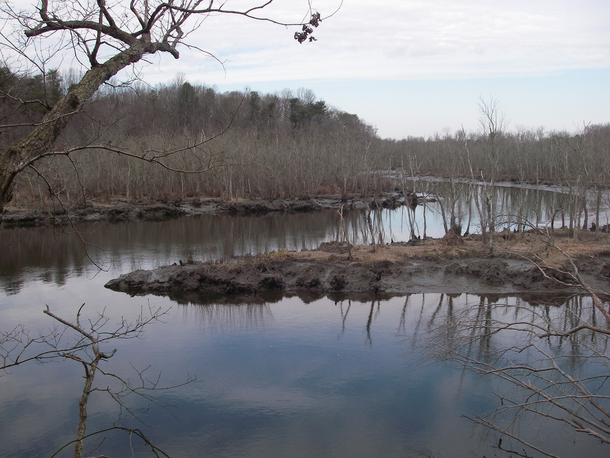
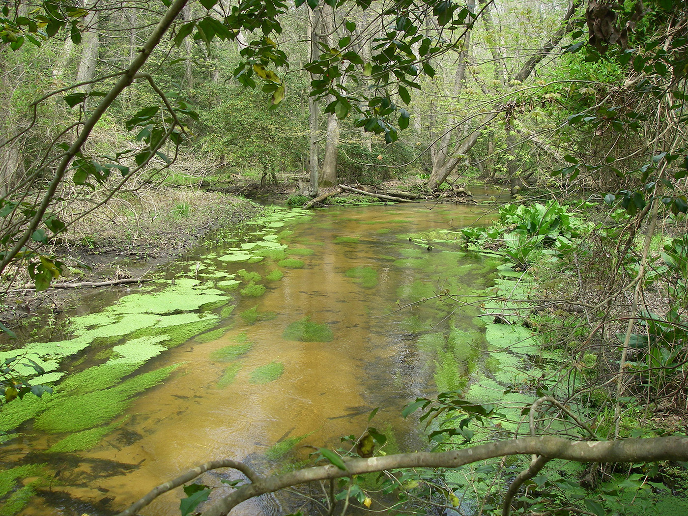
Delaware was almost entirely cleared for agriculture over a period of perhaps 150 years after European settlement. In areas where farming was not practical or productive, there has been significant re-growth of forest in areas with poor soils, poor drainage or steep terrain. Today, nearly 30% of the state’s land area is forested (Delaware Forest Service 2020) and approximately 25% of the state is covered by wetlands (Anderson et al. 2023). There is significant overlap in these two classifications, since the majority (over 64%) of wetlands in Delaware are forested.
Delaware’s Bayshore is widely recognized as an area of global ecological significance. Its expansive coastal marshes, shoreline, agricultural lands, and forests provide diverse habitat to many species, including migratory shorebirds. Birders and biologists from around the world come to central Delaware to witness the annual spring spectacle of more than a half million shorebirds taking a rest stop to dine on eggs laid by spawning horseshoe crabs. The Delaware Bayshore has been protected by Delaware’s Coastal Zone Act for over 50 years, and more than half of the Delaware Bayshore’s acreage remains undeveloped.

Delaware holds less than 1% of the Northeast’s area yet safeguards critical habitats and species, bridging northern and southern U.S. ecosystems.

Delaware manages four major drainage basins with a whole-basin approach, protecting streams, rivers, wetlands, and statewide water quality.
Delaware spans three EPA ecoregions, blending forests, wetlands, and coastal plains, shaping unique habitats and conservation priorities across the state.
Natural disturbances—fire, flooding, storms, and beavers—shape Delaware’s habitats, fostering biodiversity and sustaining species that depend on dynamic, shifting landscapes.

Effective conservation in Delaware requires broad land protection and species-specific strategies, since vegetation alone can’t fully predict wildlife habitats.
Delaware’s forests, wetlands, farms, and coastal habitats form a patchwork of rich but fragmented ecosystems, where protection, restoration, and smart land use are key to sustaining biodiversity.
Related Topics: action plan, conservation, draft, fish and wildlife, habitat, plan, species, wildlife
Delaware's Governor
State Agencies
Elected Officials
General Assembly
Delaware Courts
State Employees
Cities & Towns
Delaware State Code
State Regulations
Business First Steps
Phone Directory
Locations Directory
Public Meetings
Voting & Elections
Transparency
Health Insurance
Tax Center
Personal Income Tax
Privacy Policy
Weather & Travel
Contact Us
Corporations
Franchise Tax
Gross Receipts Tax
Withholding Tax
Delaware Topics
Help Center
Mobile Apps
E-mail / Text Alerts
Social Media

Built by the Government Information Center
©MMXXVI Delaware.gov