

DNREC Menu
Delaware is highly vulnerable to sea level rise and flooding due to its low elevation, flat landscape and ongoing land subsidence. Sea levels along Delaware’s coast are rising at roughly twice the global average, with tide gauges showing up to 15 inches of increase over the past century. Projections indicate an additional one to one and a half feet of sea level rise by midcentury and as much as four to six feet by 2100 under high emissions scenarios.
These changes are already affecting communities statewide through more frequent tidal flooding, shoreline erosion, saltwater intrusion and damage to infrastructure, homes and natural areas.
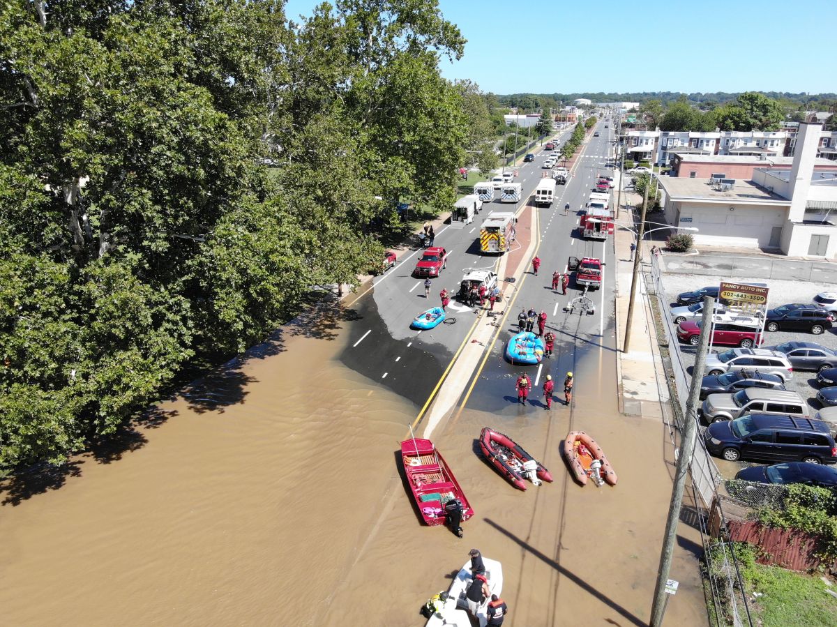
Flooding risks in Delaware are not limited to the coast. Heavier rainfall linked to climate change is increasing inland and urban flooding, where paved surfaces and aging drainage systems limit water absorption. Flooding can overwhelm stormwater and sewer systems, contaminate drinking water, damage roads and power infrastructure and disrupt transportation and emergency response. Many properties outside mapped floodplains are also at risk, as current flood maps rely on historical data and do not fully account for future sea level rise or changing precipitation patterns.
Delaware is taking action to reduce flood risk and build resilience. Foundational laws protect beaches, wetlands and waterways, while programs like the National Flood Insurance Program and state flood mitigation standards guide safer development. Recent efforts include watershed flood studies, community resilience planning and new tools to help residents understand and reduce their flood risk. The Climate Action Plan outlines strategies to strengthen monitoring and research, protect wetlands and shorelines, modernize stormwater and water infrastructure, improve building resilience and support long-term planning for communities facing repeated flooding.
Below is a summary of sea level rise, precipitation and inland flooding goals, strategies and actions from the 2025 Delaware Climate Action Plan (PDF). Download the plan for full context.
P1.1. When conducting flood vulnerability assessments for management or planning, consider future flood conditions.
P1.2. Conduct a risk analysis and resiliency assessment for Delaware’s affordable housing properties.
P1.3. Assess the economic and social impacts of frequent flooding events on critical infrastructure, including drinking water and wastewater infrastructure.
P1.4. Pursue a state probable maximum precipitation study to be used in designs of critical facilities.
P1.5. Conduct research and a feasibility study on state Fortified Building Programs for potential implementation in Delaware.
P2.1. Strengthen the Delaware Wetlands Act to increase regulatory protections for tidal wetlands and include non-tidal wetlands.
P2.2. Preserve and acquire land as necessary to allow for landward marsh migration and connectivity.
P3.1. Incorporate climate change considerations into wildlife and fisheries management plans using the best science, including planning documents like the 2025 Delaware Wildlife Action Plan.
P3.2. Incorporate climate change considerations into agriculture and natural areas management.
P4.1. Develop model ordinance language to prevent unnecessary deforestation for development; when unavoidable, require reforestation or inclusion of green space.
P4.2. Integrate stormwater management and wetland restoration into municipal plans, focusing on urban parks and flood-prone areas.
P4.3. Create green spaces on vacant lots through the DNREC Brownfield Program.
P5.1. Incorporate future climate conditions into the Beach Preservation Act.
P5.2. Support financial programs that promote living shorelines as a nature-based approach for shoreline management.
P6.1. Evaluate the current tax ditch laws for needed changes and new regulations to account for future development and impacts of increased flooding and drainage issues.
P6.2. Revisit stormwater regulations to consider future precipitation conditions.
P6.3. Update stormwater models to incorporate projected precipitation patterns, drainage constraints and capacity issues.
P6.4. Develop a plan for municipalities to evaluate the vulnerability of sewer line check valves.
P6.5. Ensure all new construction of wastewater treatment plants occurs outside of the 100-year floodplain.
P6.6. Develop a plan adapting all groundwater uses (agricultural irrigation, wells, etc.) to saltwater intrusion and salinization.
P7.1. Evaluate and update as needed building safety guidelines outlined by local floodplain ordinance and building codes, using best practice models, including the International Code Council Hazard Mitigation Building Code.
P7.2. Elevate energy infrastructure to be resilient to flooding.
P7.3. Explore ways to fund community-based flood mitigation projects.
P7.4. Consider how the state and communities can facilitate disclosure of risks and hazards on properties being sold.
P8.1. Implement best practices for hazardous substance investigation and cleanup plans to prevent contaminant release due to increased precipitation, inundation, flooding, sea level rise or changing groundwater geochemistry.
P8.2. Prioritize assessing and remediating flood-prone properties in areas subject to flooding and future inundation.
P8.3. Incorporate climate change planning and flooding considerations into the remedial action process and regulations.
P9.1. Partner with interdisciplinary groups to begin a statewide public education campaign about the concept of strategic retreat.
P9.2. Establish a multiagency statewide coastal resilience plan that includes robust community engagement and feedback from experts to investigate logistical and financial long-term options for adaptation and protection of communities and infrastructure, including options for strategic retreat from high-risk areas.
Related Topics: actions, climate action plan, climate change, climate coastal energy, goals, greenhouse gas, inland flooding, sea level rise, strategies, sustainability
Delaware's Governor
State Agencies
Elected Officials
General Assembly
Delaware Courts
State Employees
Cities & Towns
Delaware State Code
State Regulations
Business First Steps
Phone Directory
Locations Directory
Public Meetings
Voting & Elections
Transparency
Health Insurance
Tax Center
Personal Income Tax
Privacy Policy
Weather & Travel
Contact Us
Corporations
Franchise Tax
Gross Receipts Tax
Withholding Tax
Delaware Topics
Help Center
Mobile Apps
E-mail / Text Alerts
Social Media

Built by the Government Information Center
©MMXXVI Delaware.gov