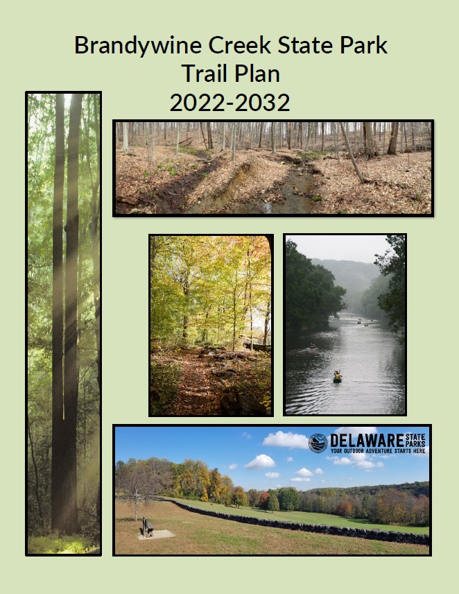
DNREC’s Division of Parks and Recreation has updated the Brandywine Creek State Park Trail Plan. The purpose of the trail plan is to provide a vision and a framework for the future trail system of Brandywine Creek State Park.
In 2019, the division presented a draft plan to the Council on Greenways and Trails, the Parks and Recreation Advisory Council, and a public open house.
The final plan was put on hold with the spread of Covid-19. However, the plan was updated and shared and reviewed with the Council on Greenways and Trails at the May 27, 2022 meeting.
The final plan was signed on June 1, 2022.

In summary, the plan outlines 1.6 miles of additional trails. Currently, the park has 16.6 miles of trails. The most notable changes are on the west side of the Brandywine Creek, with 4 miles of additional trail.
In developing the trail plan for Brandywine Creek State Park, the Division of Parks and Recreation established objectives, evaluated natural and cultural resources, assessed current trail conditions, and weighed constraints and opportunities.
Public participation was a core component in developing this plan. A stakeholder working group, representative of trail and park user groups, was assembled to participate in open discussions regarding the trail plan. Thanks to all the folks on the working group who participated in learning about the park’s natural and cultural assets and recreational trail uses, learning about the Division’s evaluation and planning process, and engaging in discussions that led to changes in the trail plan.
The working group provided key input for current and future alignments, surfaces, and uses represented in this plan. The working group discussions were the foundation of the trail plan update and were shared at the October 28, 2015 public open house. Thank you to everyone who provided feedback at the open house and/or submitted a comment form.
Overview
Brandywine Creek State Park Trail Plan Objectives
Brandywine Trail Characteristics Table
FAQs
Accessibility Maps
Brandywine Accessibility – Existing
Brandywine Accessibility – Planned
Conditions Maps
Brandywine Conditions – Existing
Brandywine Names and Colors – Planned
Brandywine Trail System – Planned
Infrastructure Maps
Brandywine Infrastructure – Existing
Brandywine Infrastructure – Planned
Permitted Use Maps
Brandywine Permitted Uses – Existing
Brandywine Permitted Uses – Planned
Sustainability Maps
Brandywine Sustainability – Existing
Brandywine Sustainability – Planned
Trail Surface Maps
Brandywine Trail Surface – Existing
Brandywine Trail Surface – Planned
Trail Width Maps
Brandywine Trail Width – Existing
Brandywine Trail Width – Planned
Related Topics: brandywine creek, outdoors and recreation, parks, planning, recreation, trails