The Department of Natural Resources and Environmental Control (DNREC) provides resources to state agencies and local government planners to help them identify and find ways to lessen risks from flooding.

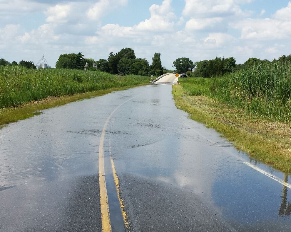
State agencies are responsible for building and maintaining infrastructure that keeps the state running. Roads, schools, wastewater treatment and parks are planned and paid for with state tax dollars. They also have long lifespans. A bridge built today will be expected to still be functional more than sixty years from now.
Changes in sea levels, temperatures, and rainfall as a result of climate change mean that infrastructure like schools and roadways will experience conditions over their lifespans that are very different from the conditions in which they were built.
Building with future conditions in mind prevents the need for expensive repairs or replacements. Building to a higher standard at the beginning can save taxpayer dollars in the long run.
At A Glance: Flood Avoidance Resources
A Guide for Delaware State Agencies
Delaware Flood Risk Adaptation Maps: Methods, Assumptions and Limitations
Flood Risk Adaptation Map (Fact Sheet)
State agencies are required to prioritize resiliency and flood risk when building new infrastructure and retrofitting or updating existing structures. An executive order signed by former Governor Jack Markell requires state agencies to avoid building within areas that are currently or will be at high risk of flooding, especially given the higher risks posed by sea level rise and climate change. New and existing structures must be constructed with future conditions in mind, with measures to reduce their vulnerability to flood hazards.
In order to help agencies meet this requirement, a Flood Avoidance Workgroup was formed and has developed resources to help agencies identify flood risk areas and to provide technical information on building adaptable, sustainable infrastructure.

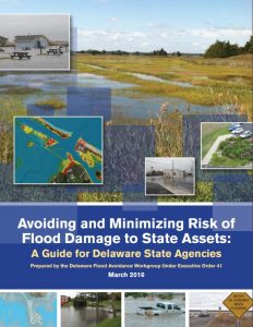
Avoiding and Minimizing Risk of Flood Damage to State Assets is a guide for state agencies with step-by-step instructions for avoiding and minimizing flood risk to state assets.
This easy-to-use guide helps agencies evaluate and avoid both existing flood risk and future risks posed by climate change during the planning and design of public building and infrastructure projects.
The guide was developed for state agencies specifically, but local governments, businesses and individuals are welcome to use it to better understand and prepare for flood risks today and in the future.
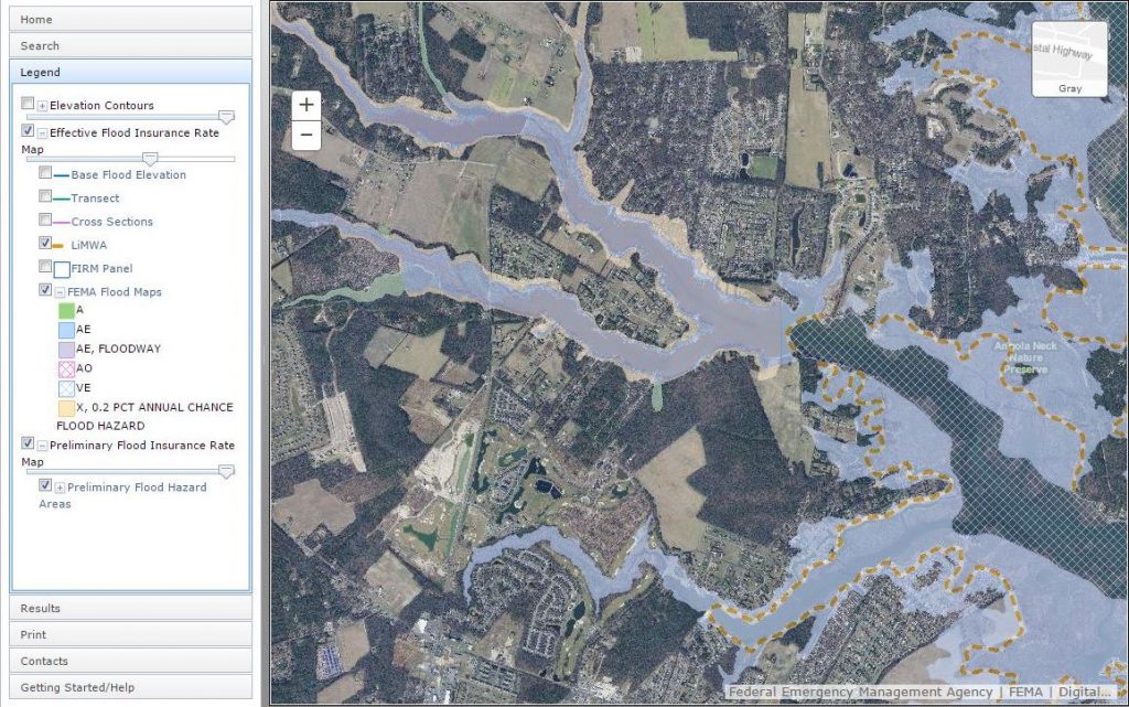
The Flood Planning Tool is an interactive web map application designed to help those researching flood risk for different parts of the state.

It gives state agencies, floodplain managers, insurance agents, developers, real estate agents, engineers, surveyors, local planners and citizens a tool to help make informed decisions about flood risks for properties and projects.
The Flood Planning Tool uses geospatial data and GIS data visualization tools to present information about flood risks using a map interface.
The Department of Natural Resources provides a variety of data and tools to help state agencies and others plan for possible flood risks.
The Flood Risk Adaptation Map (FRAM) is a tool for state flood risk planning that combines current flood modeling with sea level rise projections to depict areas in Delaware vulnerable to flooding now and in the future. It shows the land area that might be at risk of flooding during storms if mean sea levels in the state rise by three feet. It allows users to visualize future storm impacts at different times and with different rates of sea level rise.
The Flood Risk Adaptation Map can be accessed on the Delaware FirstMap geospatial data portal. It was designed to be used alongside the Delaware Sea Level Rise Inundation Map and the Federal Emergency Management Agency’s Flood Insurance Rate Map. Planners should consult all three maps in addition to comprehensive surveying to fully assess the flood risk of a site.
The map does not depict the increased risks associated with changes in coastal landforms, increased wave heights or other secondary hazards that may occur as sea levels rise. Prior to using the map, users should review Delaware Flood Risk Adaptation Maps: Methods, Assumptions and Limitations.
For more information about the Flood Risk Adaptation Map, please contact the DNREC Division of Watershed Stewardship at 302-739-9921 or the DNREC Division of Climate, Coastal and Energy at 302-735-3480.
Related Topics: climate, climate change, energy, flooding, risk